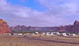
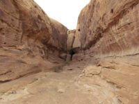
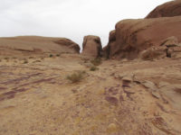
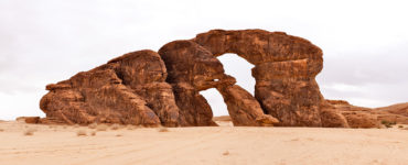
Al-‘Ula oasis is located in the verdant Wadi Al-Qura, or “valley of villages,” approximately 110 km southwest of the modern city of Tayma and 380 km north of Medina. It was an important way station and mercantile center on the frankincense trade route linking South Arabia to Mesopotamia, Syria, and Egypt. At Al-‘Ula, the road branched, with one arm leading to Babylon, via Tayma, and the second to Petra and Syria. Al-‘Ula was the capital of the Dedan and Lihyan Kingdoms (6th-2nd centuries BCE) and was controlled by the Nabataeans from the second century BCE to 106 CE, when the Romans defeated them, enabling Masudu, a Lihyanite ruler, to regain power. The area has an incredibly rich heritage, with innumerable archaeological sites dotting the landscape.
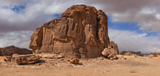
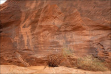
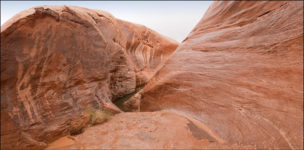
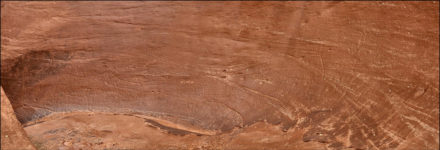
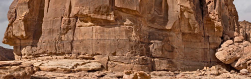
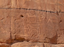
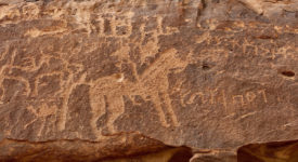
The vertical sandstone cliffs surrounding Al-‘Ula provide ample surfaces for rock art, making Al-’Ula one of the richer petroglyph regions in the Kingdom. Ar-Ruzeiqiah is a mountain located in the southern part of Al-‘Ula with a large petroglyph panel displaying hundreds of images, including depictions of hunting scenes with humans and a variety of animals. Ibexes are the most common species, but camels, horses, and other species can also be found. Mount Ikma also has a large façade with scenes, strange symbols, and inscriptions.